Sentinel Dome, Yosemite National Park. Jordan Scenna | Washtenaw Voice
by JORDAN SCENNA
Deputy Editor
As the last tests are taken, presentations presented, and papers penned, students are getting ready for a summer of fun and adventure. Unless you are one of those overachievers that the rest of us silently mock for taking summer classes, the season of sun is the time to unplug, to explore, and to get outside and enjoy the untold wonders this world has to offer. But if you’re like me, and have the attention span of a hyperactive goldfish, then lying on the beach, or lazily sipping lemonade on the back porch might not be for you.
The alternative?
Have yourself a walk.
Here are some great hiking trails for both the local heel-to-toe, and a few for the more intrepid trekkers.
Hike Michigan!
Potawatomi Trail
Potawatomi Trail. Shutterstock
Location: Pinckney, Michigan
Distance: 17.6 miles
Elevation Gain: 1,253 feet
Trail Type: Loop
Features: Hiking, Biking, Camping, Dogs(Leashed)
Potawatomi Trail is known as one of the best hiking trails in Southeast Michigan. It’s over 17 miles of hills, lakes, and creeks, accessible for both the novice, and the shoe-worn veteran alike. If you’re planning to take on the entire trail, there are multiple campsites along the way with working water pumps. If 17 miles is too daunting a saunter, you can try the Crooked Lake Trail which measures 5.1miles, or the Silver Lake Trail which measures a mere 1.9 miles. If you didn’t get the recreation pass when you last renewed your driver’s license, parking will cost you $17.
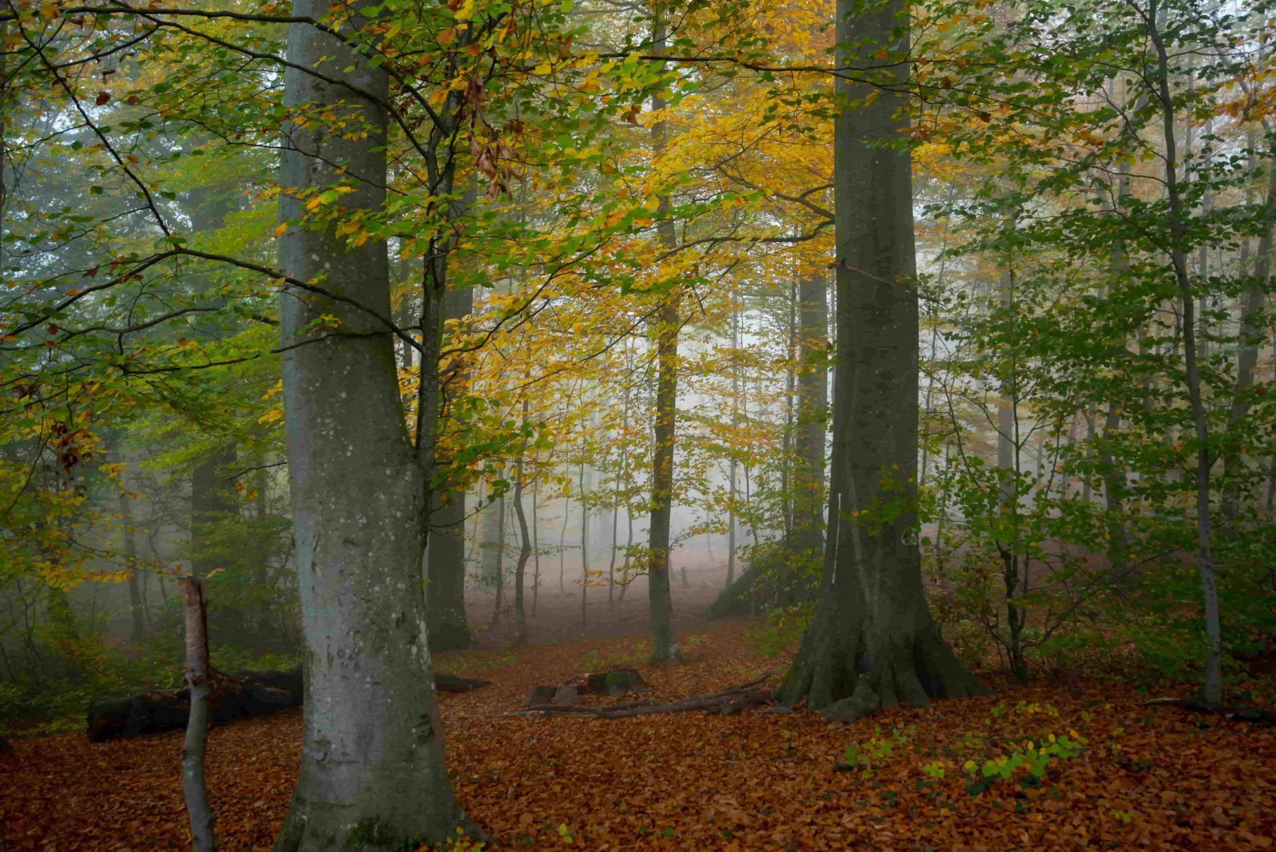
Chapel Loop-Pictured Rocks National Lakeshore
Pictured Rocks. Shutterstock
Location: Shingleton, Michigan
Distance: 10.2 miles
Elevation Gain: 754 feet
Trail Type: Loop
Features: Hiking, Camping, Swimming, No dogs
Pictured Rocks is located in Michigan’s Upper Peninsula just past the Mackinac Bridge. It’s famous for its kaleidoscopic rock cliffs, sea arches, coves, and waterfalls. This is the perfect hike to take in all that Pictured Rocks has to offer. You’ll experience amazing views off Pictured Rock Cliffs, see the Grand Portal arch (which partially collapsed in 2000), Lover’s Leap, and have a swim at Chapel Beach. Don’t bring your pooch because dogs are not allowed on this trail, although other trails do allow them. It is $10 per vehicle, and if you’re planning on camping, expect a $5 per person fee.
Big Carp River Trail: Porcupine Mountains State Park
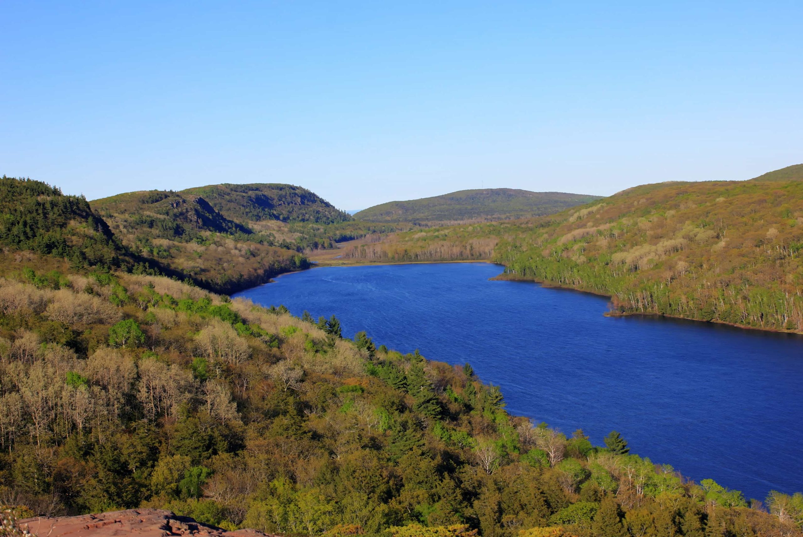
Porcupine Mountains. Shutterstock
Location: Ontonagon, Michigan
Distance: 16.2 miles
Elevation Gain: 1,423 feet
Trail Type: Out and Back
Features: Hiking, Camping, Birding, Dogs (Leashed)
The Porcupine Mountains, located near Ontonagon, Michigan is the largest wilderness area in the Midwest. It boasts over 90 miles of hiking trails with beautiful views of Lake Superior, creeks, bridges, and the majestic wilderness of the Porcupine Mountains. If you’re lucky, you may encounter some of the vibrant wildlife that shares these woods. Black Bears, Gray Wolves, foxes, porcupines, and moose all call the Porcupine Mountains their home. The park recommends an overnight stay as this is a long hike. A $17 recreation pass is required, and a $20 per night fee will be charged for camping.
Hike America!
Mt. Tallac: South Lake Tahoe
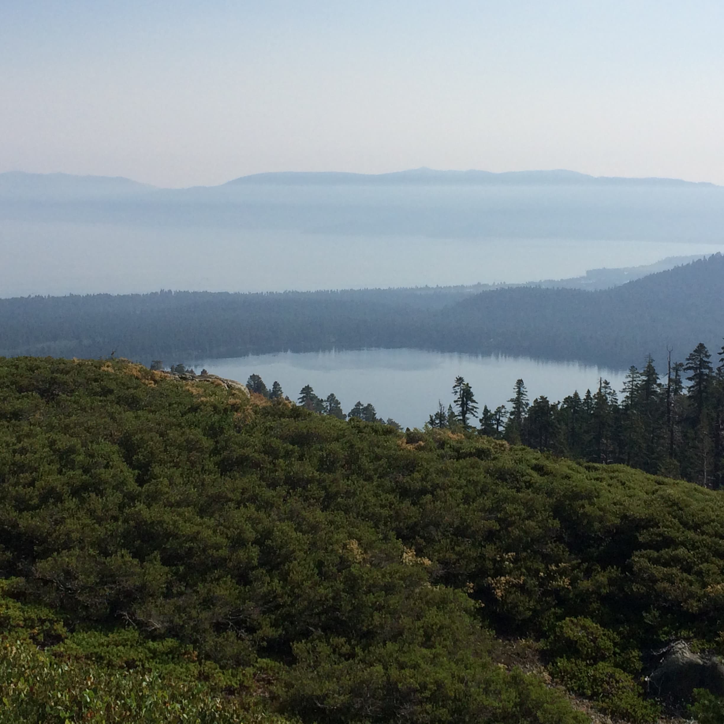
Mt. Tallac, Lake Tahoe. Jordan Scenna | Washtenaw Voice
Location: South Lake Tahoe, California
Distance: 10.5 miles
Elevation Gain: 3,274 feet
Trail Type: Out and Back
Features: Hiking, Camping, Dogs (Leashed)
Lake Tahoe stands on the California/Nevada border and is a very popular tourist destination for both winter and summer fun. For hikers, Mt. Tallac is a must do when visiting Tahoe. This hike isn’t for the faint of heart, as Mt. Tallac stands 9,738 feet tall, complete with rocky terrain, and the latter part of the hike lacking shade. Your efforts will be greatly rewarded if you can reach the summit, with spectacular views of Fallen Leaf Lake, Lake Tahoe, and the Desolation Wilderness. Day hikers can issue themselves a permit at the trailhead, while campers can expect a $5 fee for the first two nights.
Angel’s Landing: Zion National Park
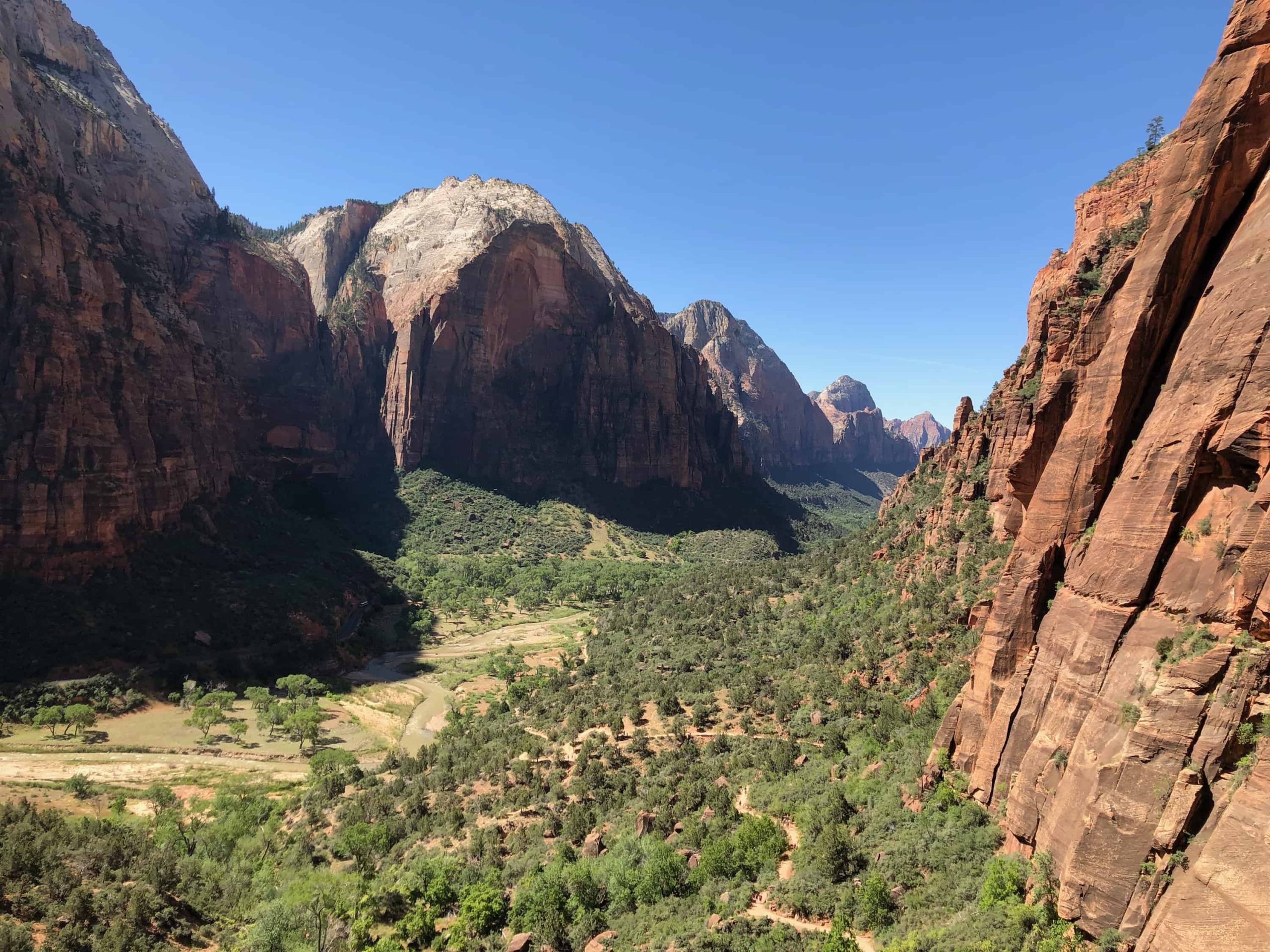
Zion National Park. Jordan Scenna | Washtenaw Voice
Location: Springdale, Utah
Distance: 5.2 miles
Elevation Gain: 1,604 feet
Trail Type: Out and Back
Features: Hiking, No dogs
Zion National Park is a nature preserve defined by its signature red cliff formations. Zion offers travelers many different hiking and camping experiences. One of those is the Angel’s Landing day hike. Angel’s Landing gives hikers great views of Zion Canyon and Scout Lookout. You’ll encounter paved trails and man-made switchbacks, fondly nicknamed “Walter’s Wiggles,” after the park’s first superintendent who engineered the path up to Angel’s Landing. Angels Landing is famous for its narrow, “rock fin” summit, where fixed steel chains have been hammered into the rock face to help navigate the treacherous path. If you have a fear of heights this is not the hike for you. Expect a $35 entrance fee.
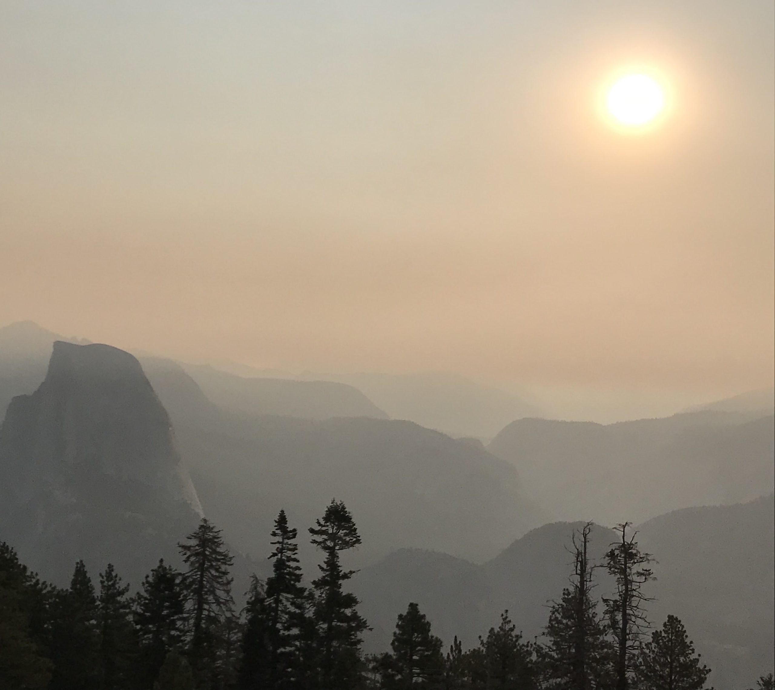
Sentinel Dome: Yosemite
Sentinel Dome, Yosemite National Park. Jordan Scenna | Washtenaw Voice
Location: Mariposa, California
Distance: 2.1 miles
Elevation Gain: 456 feet
Trail Type: Out and Back
Features: Hiking, Camping, Biking Dogs (Leashed)
Yosemite National Park is located in the Sierra Nevada Mountains and is known for its diverse terrain, featuring towering waterfalls, giant Sequoias, and world-famous rock formations, El Capitan and Half Dome. The Sentinel Dome isn’t as renowned, but stands out for its amazing views. Words can’t describe the surreal vista’s you’ll take in at the top of Sentinel Dome. You’ll get a 360 degree view of the Yosemite backcountry while taking in Yosemite Falls, Half Dome, and El Capitan. This hike is a must when visiting Yosemite. Expect a $35 fee when driving into the park.